This website illuminates my life and adventures. My longing for freedom has led me to over 2450 of the world’s 3978 provinces, to every country on earth and to the summit of the highest peak on each continent (thank heaven for good weather!). In my travels, I learned to respect the intelligence and ingenuity of people of all races and callings both past and present. Come see the world as I see it: as a peaceful place, full of nature and beauty. With the right spirit and intent, we can make our world a virtual Garden of Eden.
DISTINCTIONS: BBC 2017 Travel Pioneer • Journal Articles • Explorer’s Club Flag Expeditions
World Parks Project • Walk Across South America • Jeff Shea Travel Map
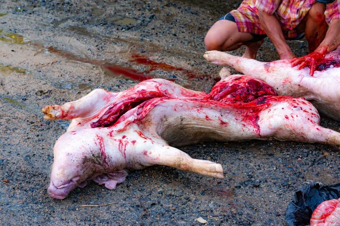 Vietnam, Phu Yen Prov, Slaughter
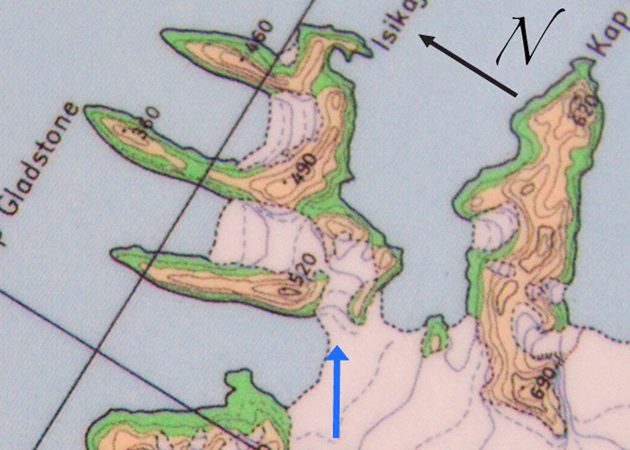 Greenland, Warming Island, off coast of Liverpool Land, Warming Island Map, 2006 - This map was in use at the airstrip at Constable Pynt in Sept 2006. It shows Warming Island as part of the mainland of Greenland. The blue arrow shows the point at which the glacier fell away to the sea, thus creating the world's newest island, which Dennis Schmitt, its discoverer, named Warming Island in Greenlandic. We camped for six nights at the base of the peak labeled 520 (meters) in the saddle between it and the peak labeled 490, in the direction of the blue arrow. The entire glacier fell away, creating a new strait that left Warming Island completely surrounded by the sea. The strait was approximately 150 meters across at its closest point. The ice shelf falling to the sea was obviously old ice, perhaps thousands of years old.
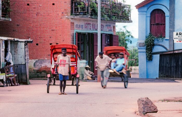 Madagascar, Rickshas, 2003 - I was surprised to see rickshas in this small town on the way back to Antanarrivo.
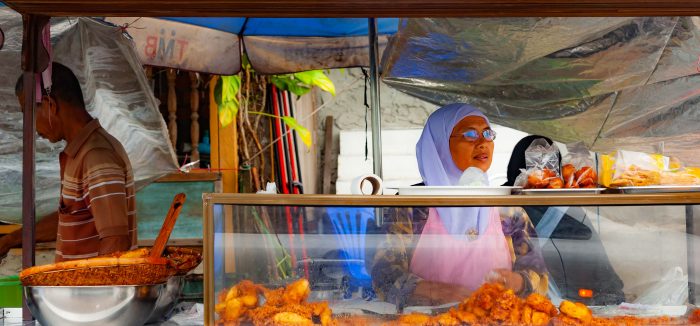 Thailand, Pattani Prov, Food Stand
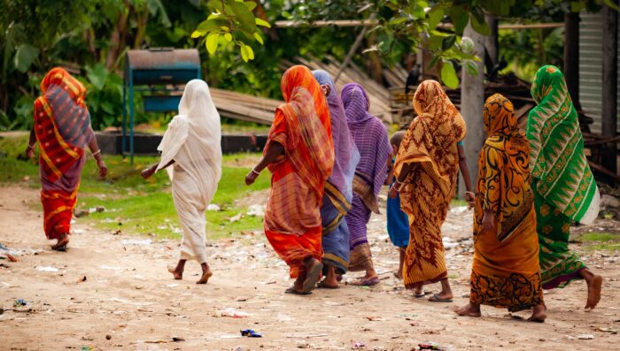 Bangladesh, Habiganj Prov, Women Traditional Clothes
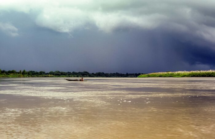 Papua New Guinea, Canoe on Sepik, 1983 - To my surprise, the people of the Sepik had small fires burning in their canoes as they paddled along. These fires could be used to light their pipes or to carry fire from one place to the next.
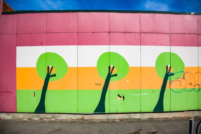 Latvia, Liepaja City Province, Side Of Building -
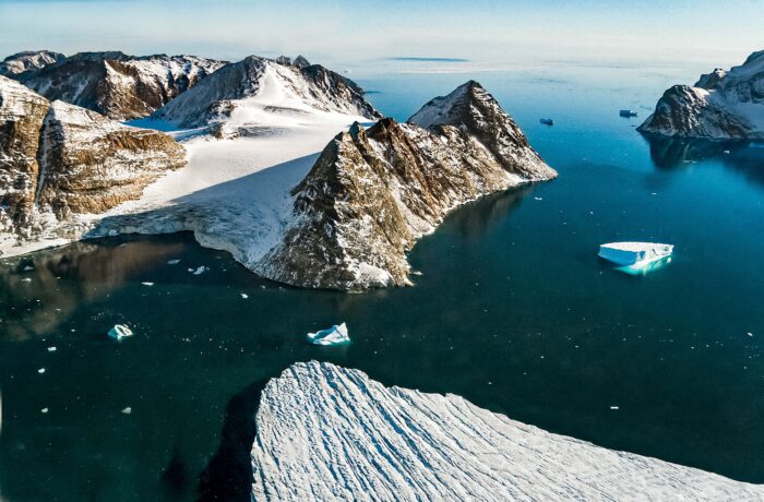 Greenland, Warming Island, off coast of Liverpool Land, Warming Island, 2006 - This aerial photograph has an inset map that explains the geography. The arrow matches with the glacier on Warming Island. The protruding glacier in the foreground is part of Liverpool Land on the island of Greenland. The peak labeled N 71 degrees 28.294 minutes by W 021 degrees 51.620 minutes was climbed by our group on Sept 10, 2006. We used two GPSs to record the coordinates and the height at 1620 feet. The map shows it at 490 meters, or 1607 feet. The tabular iceberg in the right foreground is probably broken away from the glacier in the foreground. The iceberg calved on a daily basis.
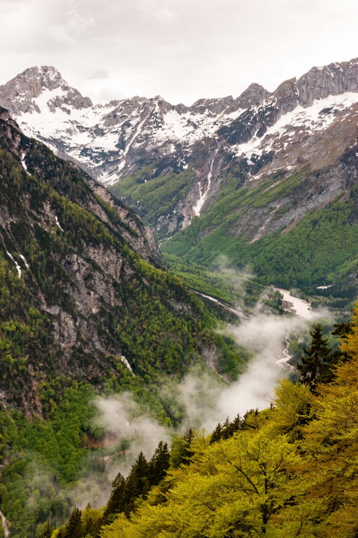 Slovenia, Bovec Prov, Mountainscape
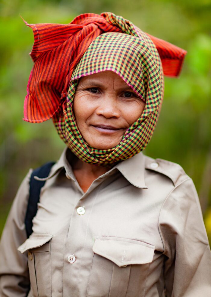 Cambodia, Stueng Traeng Prov, Woman