This website illuminates my life and adventures. My longing for freedom has led me to over 2600 of the world’s 3978 provinces, to every country on earth and to the summit of the highest peak on each continent (thank heaven for good weather!). In my travels, I learned to respect the intelligence and ingenuity of people of all races and callings both past and present. Come see the world as I see it: as a peaceful place, full of nature and beauty. With the right spirit and intent, we can make our world a virtual Garden of Eden.
DISTINCTIONS: BBC 2017 Travel Pioneer • Journal Articles • Explorer’s Club Flag Expeditions
World Parks Project • Walk Across South America • Jeff Shea Travel Map
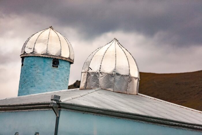 Azerbaijan, Gadabay Prov, Mosque Roof
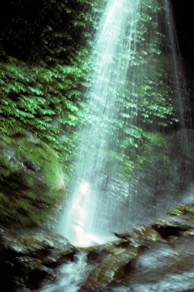 PNG, Jeff Shea In Waterfall, 1983 - This photograph was taken during the walk from Wabia to Top Camp deep in the forest of New Guinea's Highlands. One memorable feature of bush walking in New Guinea is water. There was plenty of it. There was a lot of rain, and you can drink from every stream without fear of sickness: at least in 1983 when this photograph was taken.
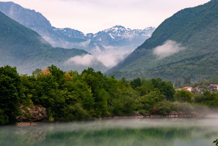 Slovenia, Tolmin Prov, River Scene
 Slovenia, Luce Prov, Rushing River
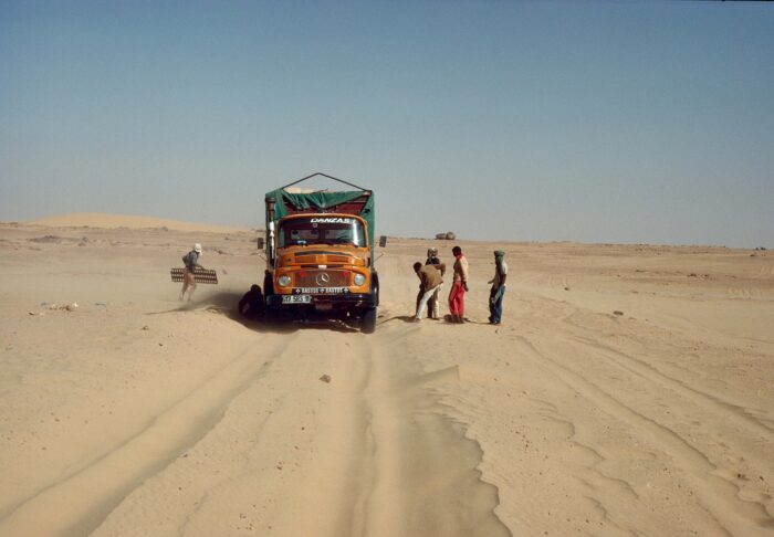 The Truck Gets Stuck in the Sand, 1988
Algeria, Sahara Desert South of Ghardaia
Sometimes the truck got stuck. Then they would bring out the metal racks. They wedged them under the tires to free the vehicle.
The Truck Gets Stuck in the Sand, 1988
Algeria, Sahara Desert South of Ghardaia
Sometimes the truck got stuck. Then they would bring out the metal racks. They wedged them under the tires to free the vehicle. Slovenia, Sentjernej Prov, Grass Field
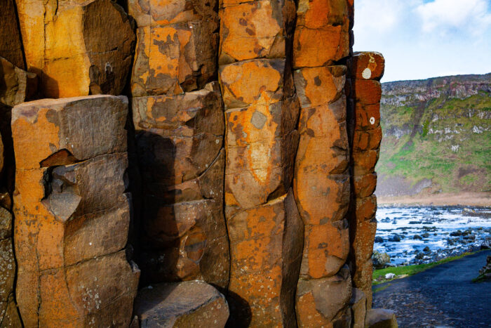 N Ireland, Moyle Prov, Rocks
 Mali, Bankas, Dogon Hut 1, 1987 - I came upon these two perfect little houses, used for grain. I took a photo of them individually, creating a diptych.
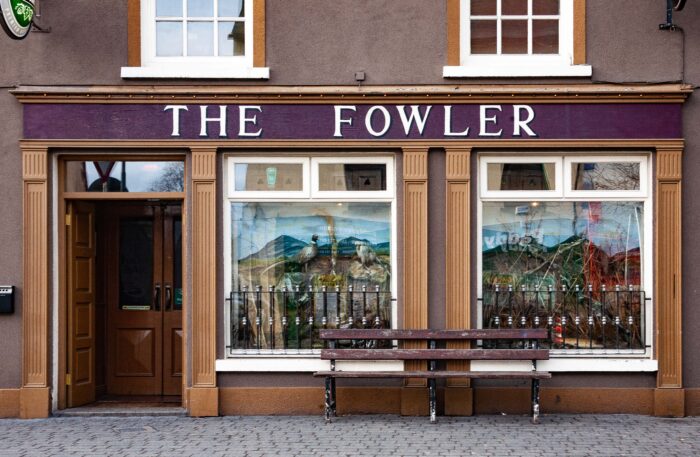 Ireland, Wexford Prov, The Fowler
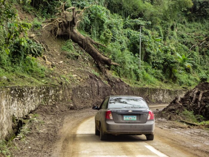 Philippines, Kalinga Prov, Tree And Car