This website illuminates my life and adventures. My longing for freedom has led me to over 2600 of the world’s 3978 provinces, to every country on earth and to the summit of the highest peak on each continent (thank heaven for good weather!). In my travels, I learned to respect the intelligence and ingenuity of people of all races and callings both past and present. Come see the world as I see it: as a peaceful place, full of nature and beauty. With the right spirit and intent, we can make our world a virtual Garden of Eden.
DISTINCTIONS: BBC 2017 Travel Pioneer • Journal Articles • Explorer’s Club Flag Expeditions
World Parks Project • Walk Across South America • Jeff Shea Travel Map
 Thailand, Nan Prov, Temple Relief
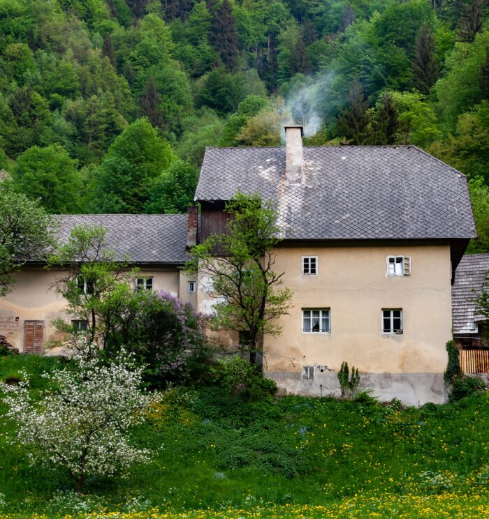 Slovenia, Trzic Prov, Smokey Chimney
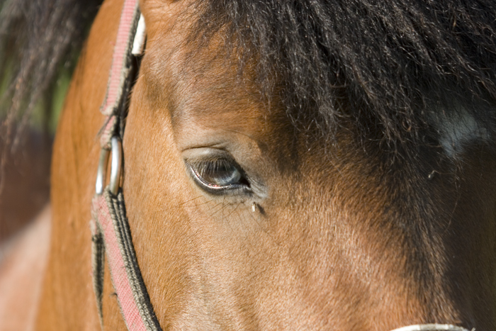 Slovenia, Lukovica Province, Horse Eye, 2006, IMG_6142 - This horse has a blue eye.
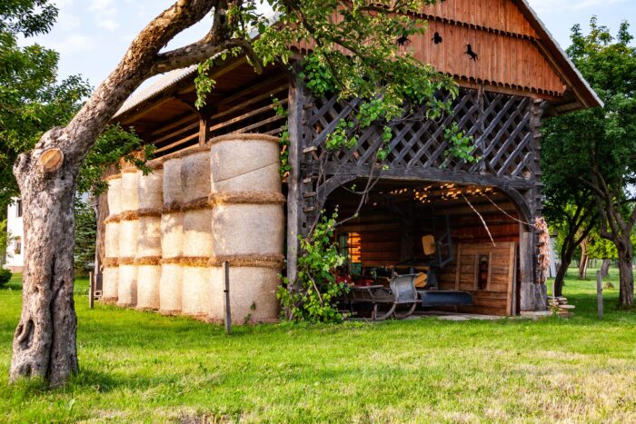 Slovenia, Sentjernej Prov, Farm Shed
_Prov,_Gent,_2009,_IMG_3277CU1-700x521.jpg) UK, Waltham Forest (London) Prov, Gent
UK, Waltham Forest (London) Prov, Gent Chile, Antofagasta Prov, Flamingos
 Seram, Large Tree, 2006 - I spent the entire month of October 2006 searching the rain forests of Seram for a lost tribe. Here (next to last right) I stand with my porters on the way from Waiputihputih to Kanikeh. This photo shows how large the tree trunks can get, spreading their trunks wide to stabilize their short root systems.
 Slovenia, Lukovica Prov, Horse Head
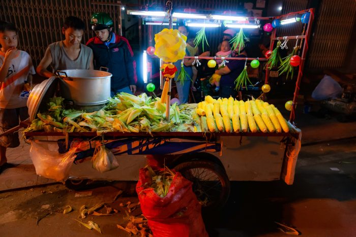 Vietnam, Binh Dinh Prov, Night Corn
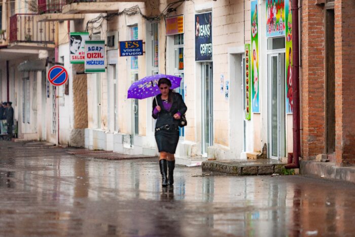 Azerbaijan, Qax Prov, Umbrella