This website illuminates my life and adventures. My longing for freedom has led me to over 2600 of the world’s 3978 provinces, to every country on earth and to the summit of the highest peak on each continent (thank heaven for good weather!). In my travels, I learned to respect the intelligence and ingenuity of people of all races and callings both past and present. Come see the world as I see it: as a peaceful place, full of nature and beauty. With the right spirit and intent, we can make our world a virtual Garden of Eden.
DISTINCTIONS: BBC 2017 Travel Pioneer • Journal Articles • Explorer’s Club Flag Expeditions
World Parks Project • Walk Across South America • Jeff Shea Travel Map
 Slovenia, Solcava Prov, Painted Tower
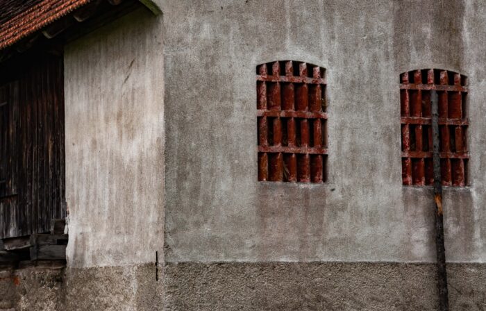 Slovenia, Nazarje Prov, Building Side
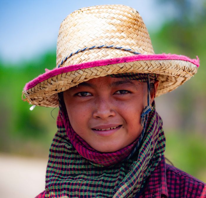 Thailand, Sa Kaeo Prov, Cane Worker Portrait
 Cambodia, Mondol Kiri Prov, Woman With Basket
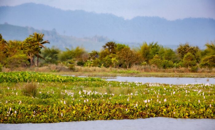 Thailand, Chanthaburi Prov, Landscape
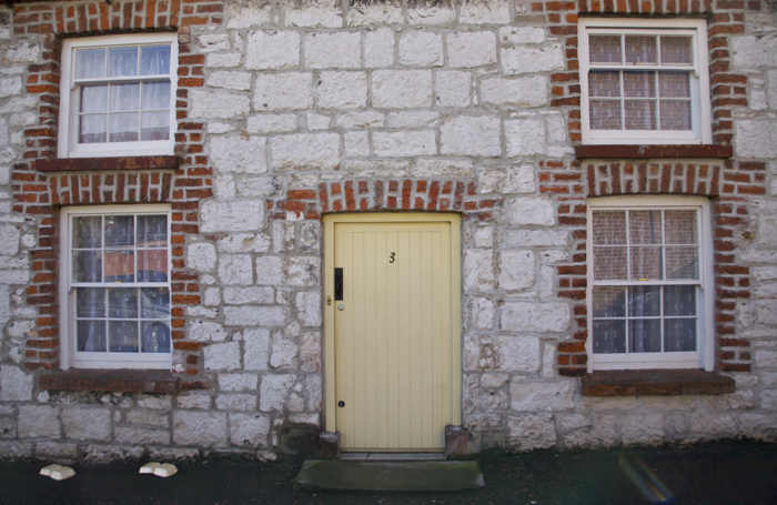 N Ireland, Limavady Prov, Windows Door
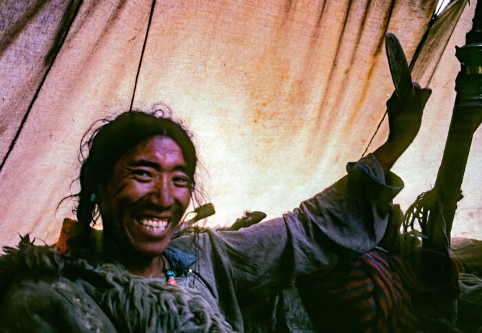 Nepal, Namche Trader, 1983 - In the market in Namche Bazar, I had my first exposure to Tibetan nomads. They traveled across high snow-covered passes to trade in the markets of Nepal. They wore jackets made of skins and fur, enough to keep them warm during the coldest nights.
 Latvia, Jelgava City Province, Cathedral -
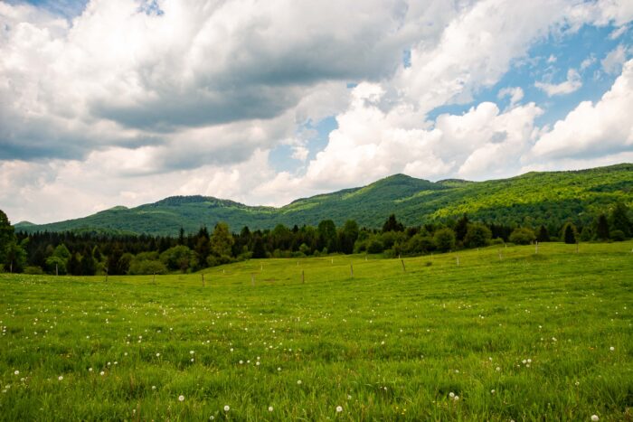 Slovenia, Kocevje Prov, Landscape
 Bangladesh, Sylhet Prov, Boat Taxi