This website illuminates my life and adventures. My longing for freedom has led me to over 2600 of the world’s 3978 provinces, to every country on earth and to the summit of the highest peak on each continent (thank heaven for good weather!). In my travels, I learned to respect the intelligence and ingenuity of people of all races and callings both past and present. Come see the world as I see it: as a peaceful place, full of nature and beauty. With the right spirit and intent, we can make our world a virtual Garden of Eden.
DISTINCTIONS: BBC 2017 Travel Pioneer • Journal Articles • Explorer’s Club Flag Expeditions
World Parks Project • Walk Across South America • Jeff Shea Travel Map
 Italy, Cinque Terre, Village, 2003 - The towns of Cinque Terre on the west coast of Italy are wonderful to visit. Vernazza is one example.
 Papua New Guinea, Cassowary On Trail, 1983 - On my first day of a thirty-nine day journey in the rainforest of New Guinea, I noticed this bird along the trail. I approached it to take a photograph. I was surprised when it didn't run away. It was a pet of a native woman who was walking with us. It followed her like a dog follows its master.
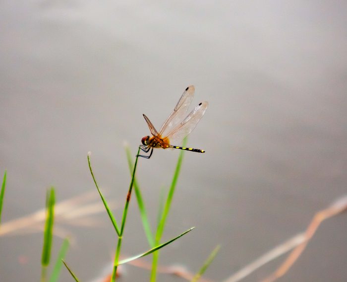 Thailand, Surat Thani Prov, Dragonfly
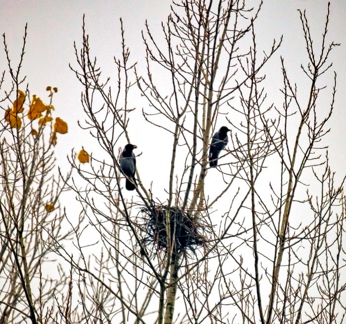 Turkey, Duzce Province, Birds With Nest
 Slovenia, Majsperk Prov, Corn Storage
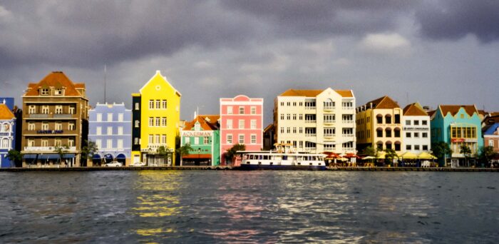 Curacao, Waterfront Promenade, 2000 - This section of waterfront in Curacao is notable because of its varied architecture and color.
 Lhotse, 1983
Nepal, Bagmati Province (Zone), Solo Khumbu - 35mm Kodachrome film
Lhotse, as visible from the Solo Khumbu Valley. Everest is the mountain to its left in the back, appearing smaller than Lhotse because it is more distant. It is unclear to me whether the enormous face of Lhotse shown in this photograph has ever been climbed.
Lhotse, 1983
Nepal, Bagmati Province (Zone), Solo Khumbu - 35mm Kodachrome film
Lhotse, as visible from the Solo Khumbu Valley. Everest is the mountain to its left in the back, appearing smaller than Lhotse because it is more distant. It is unclear to me whether the enormous face of Lhotse shown in this photograph has ever been climbed.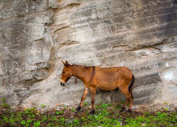 Turkey, Artvin Prov, Mule
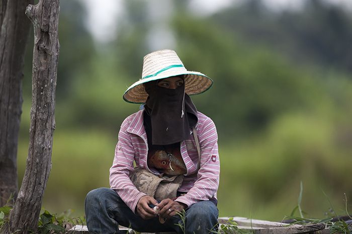 Thailand, Sukhothai Prov, Sitting Figure
 Bangladesh, Sherpur Prov, Roadside