This website illuminates my life and adventures. My longing for freedom has led me to over 2600 of the world’s 3978 provinces, to every country on earth and to the summit of the highest peak on each continent (thank heaven for good weather!). In my travels, I learned to respect the intelligence and ingenuity of people of all races and callings both past and present. Come see the world as I see it: as a peaceful place, full of nature and beauty. With the right spirit and intent, we can make our world a virtual Garden of Eden.
DISTINCTIONS: BBC 2017 Travel Pioneer • Journal Articles • Explorer’s Club Flag Expeditions
World Parks Project • Walk Across South America • Jeff Shea Travel Map
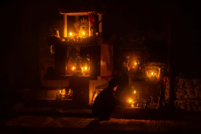 Vietnam, Thua Thien-Hue Prov, Night Shrine
 Slovenia, Metlika Prov, Flower
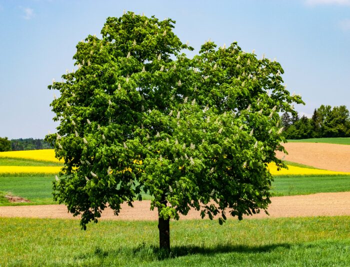 Slovenia, Grosuplje Prov, Tree
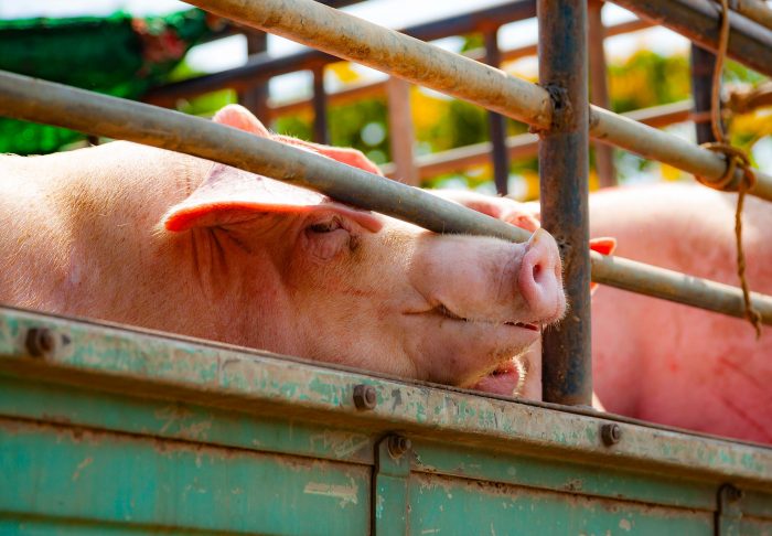 Thailand, Uttaradit Prov, Captive Pig
 Cambodia, Krong Kaeb Prov, Snake God
 Slovenia, Markovci Prov, Scarecrow
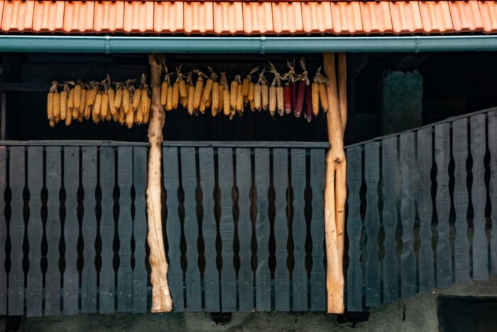 Slovenia, Tabor Prov, Hanging Corn
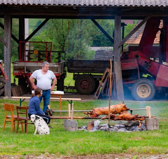 Slovenia, Podcetrtek Prov, Pig Roast
 Pacific Ocean, Jeff Shea with Mahi Mahi, 1982 - On my voyage across the Pacific Ocean in 1982 in Boysie Day's 41-foot ketch, we used rags, a three-pronged hook and surveyor's tape to catch Mahi Mahi off the stern. As Boysie said repeatedly, "Mahi Mahi is one of the best eating fish there is." In this photograph I hold on to a large Mahi Mahi. Kelly Soma, our cook, fixed it for lunch; Kelly and I fell in love on the boat.
 Slovenia, Ribnica Na Pohorju Prov, Dobrodosli Ribnica Na Pohorju