This website illuminates my life and adventures. My longing for freedom has led me to over 2600 of the world’s 3978 provinces, to every country on earth and to the summit of the highest peak on each continent (thank heaven for good weather!). In my travels, I learned to respect the intelligence and ingenuity of people of all races and callings both past and present. Come see the world as I see it: as a peaceful place, full of nature and beauty. With the right spirit and intent, we can make our world a virtual Garden of Eden.
DISTINCTIONS: BBC 2017 Travel Pioneer • Journal Articles • Explorer’s Club Flag Expeditions
World Parks Project • Walk Across South America • Jeff Shea Travel Map
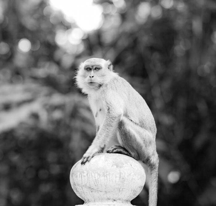 Philippines, Tawi Tawi Prov, Monkey
 Philippines, Palawan Prov, Young Sea Turtle
 Slovenia, Kozje Prov, Ant On Flower
 N Ireland, Louth Prov, Ocean Waves
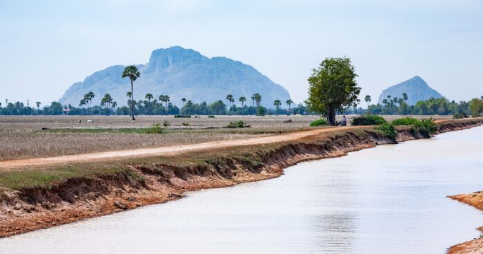 Cambodia, Kampot Prov, Landscape And Canal
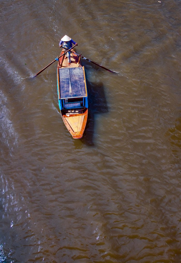 Vietnam, KienGiang Prov, Boatman
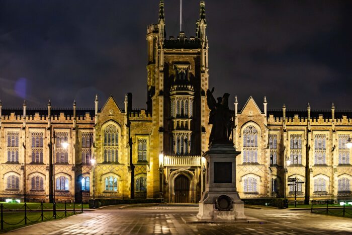 N Ireland, Belfast Prov, Night Scene
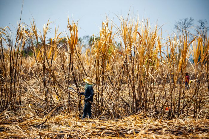 Thailand, Sa Kaeo Prov, Cane Worker
 Papua New Guinea, Strickland Gorge, 1983 - On the second day of walking from Lake Kopiago, we came out of the forest and crossed the Strickland Gorge. The Strickland Gorge amazed me with its beauty.