This website illuminates my life and adventures. My longing for freedom has led me to over 2600 of the world’s 3978 provinces, to every country on earth and to the summit of the highest peak on each continent (thank heaven for good weather!). In my travels, I learned to respect the intelligence and ingenuity of people of all races and callings both past and present. Come see the world as I see it: as a peaceful place, full of nature and beauty. With the right spirit and intent, we can make our world a virtual Garden of Eden.
DISTINCTIONS: BBC 2017 Travel Pioneer • Journal Articles • Explorer’s Club Flag Expeditions
World Parks Project • Walk Across South America • Jeff Shea Travel Map
 Azerbaijan, Goranboy Prov, Sheep
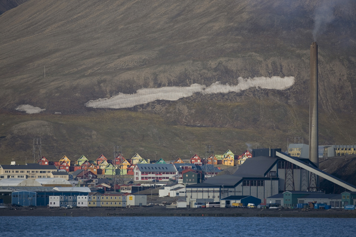 Norway, Svalbard, Longyearbyen, Skyline, 2007 - The first time I went to Longyearbyen, I came and went without any real understanding of the wonders of Spitsbergen. The second time I went there, I camped by the airport. Even close to town, I learned there was a lot of wildlife. Later, flying over west Svalbard, I was amazed at the stunning landscape, as you can see in other photos in this section. This photograph was taken from near the old mill on the road to the camping site.
 Slovenia, Dolenjske Toplice Prov, Man With Dogs
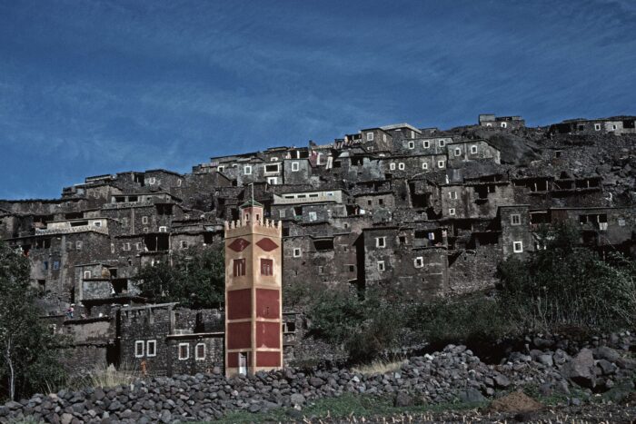 Morocco, Village Mosque in Atlas, 1988 - High in the mountains, villagers were called to prayer from this mosque. It is painted in bright colors, in contrast to the austere environment.
 Thailand, Yasothon Prov, East Meets West
 Bangladesh, Dhaka Prov, Street Vendor
 Vietnam, Thai Nguyen Prov, Globe
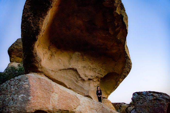 Turkey, Mugla Province, At The Overhang
 Slovenia, Gornji Grad Prov, Farm
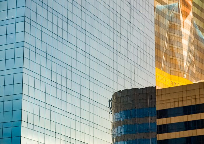 Thailand, Pathum Thani Prov, Honor Our King