This website illuminates my life and adventures. My longing for freedom has led me to over 2600 of the world’s 3978 provinces, to every country on earth and to the summit of the highest peak on each continent (thank heaven for good weather!). In my travels, I learned to respect the intelligence and ingenuity of people of all races and callings both past and present. Come see the world as I see it: as a peaceful place, full of nature and beauty. With the right spirit and intent, we can make our world a virtual Garden of Eden.
DISTINCTIONS: BBC 2017 Travel Pioneer • Journal Articles • Explorer’s Club Flag Expeditions
World Parks Project • Walk Across South America • Jeff Shea Travel Map
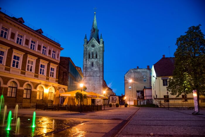 Latvia, Cesu Prov, Square -
 Singapore, King Of Saxony Bird Of Paradise, Jurong Bird Park, 2008, IMG_9488 - Twenty five years earlier, the highlanders of New Guinea wore the feathers of the King of Saxony bird of paradise in their headdress. This elusive bird is most easily seen at the Jurong Bird park. But even then, such a view requires patience. Their feathers, when viewed up close, are remarkable, each "branch" in itself comprised of smaller versions of itself.
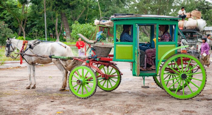 Myanmar, Shan Prov, Green Horse Carriage
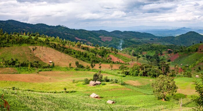 Myanmar, Shan Prov, Landscape
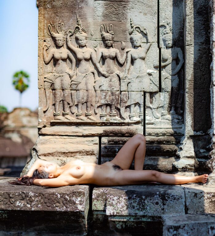 Cambodia, Siem Reab Prov, Nude
 Jeff Draws The Analogous Circle And The Line Illustrating The Dynamic Life, 2012
Chile, Antofagasta Province (Región) - Taken by John Richardson in collaboration with Jeff Shea Walk Across the Atacama Desert 2012
Jeff Draws The Analogous Circle And The Line Illustrating The Dynamic Life, 2012
Chile, Antofagasta Province (Región) - Taken by John Richardson in collaboration with Jeff Shea Walk Across the Atacama Desert 2012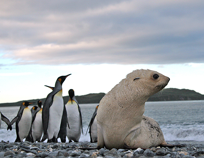 South Georgia, Salisbury Plain, White Fur Seal, 2006 - Every so often, a white baby fur seal is born, even though their normal color is dark.
 UK, Flintshire Prov, Night Churchyard
 Iran, The Ayatollah and the Shah's Head, 1984 - Here, a mural shows the Ayatollah Khomeini walking into the sunset with the former Shah of Iran's head severed from the blow of an ax at his feet. These types of graphic demonstrations of "victory" are not uncommon in dictatorial states.
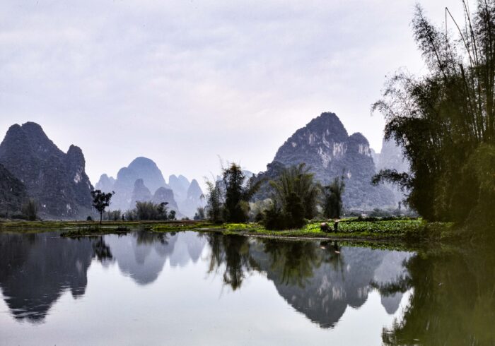 China, Guangdong Province, Yangshuo Ox and Man, 1992CU1 - I was traveling with my Chinese girlfriend at the time. As a girlfriend she was fine, but as a wife, well, it turned out poorly and ended soon. Every cloud has a silver lining. From her, I learned to type, and I learned an appreciation of China's great past.